The Sacred Landscape
Rolling hills, river bends, and five thousand years of human presence in the Boyne Valley
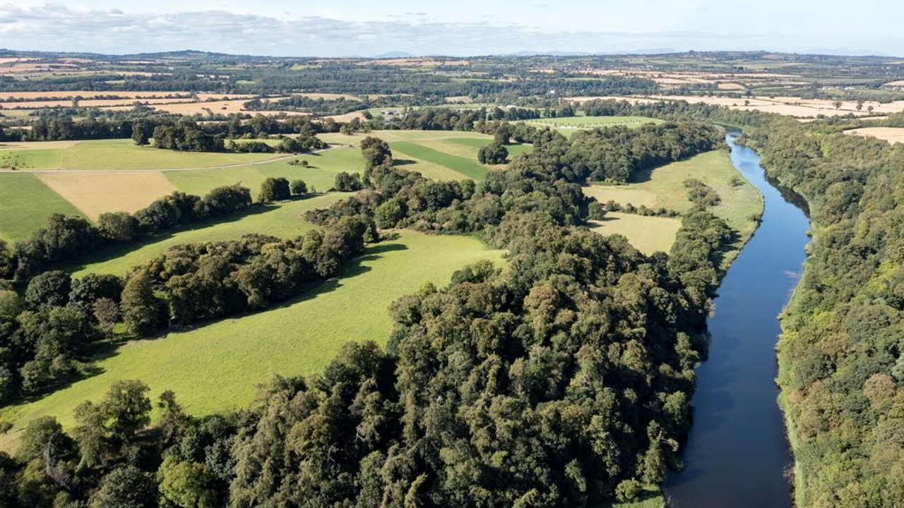
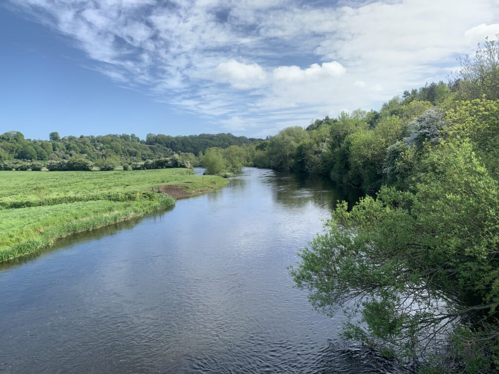
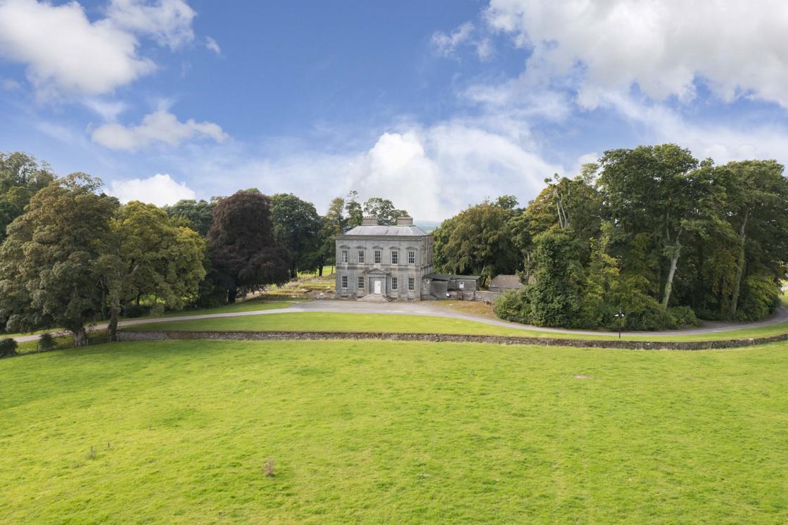
The landscape of Brú na Bóinne is shaped by the gentle meander of the River Boyne, which curves in a great arc through the fertile lands of County Meath. It is a place of soft contours and quiet beauty, where ancient monuments rise from the green fields like memories made stone.
Views of the Valley
Light, seasons, and the enduring presence of ancient monuments
Winter Light
In the depths of winter, when the sun hangs low on the horizon, the Boyne Valley is transformed by soft, golden light. Mist rises from the river in the early morning, and the ancient mounds emerge from the haze like islands in a sea of white.
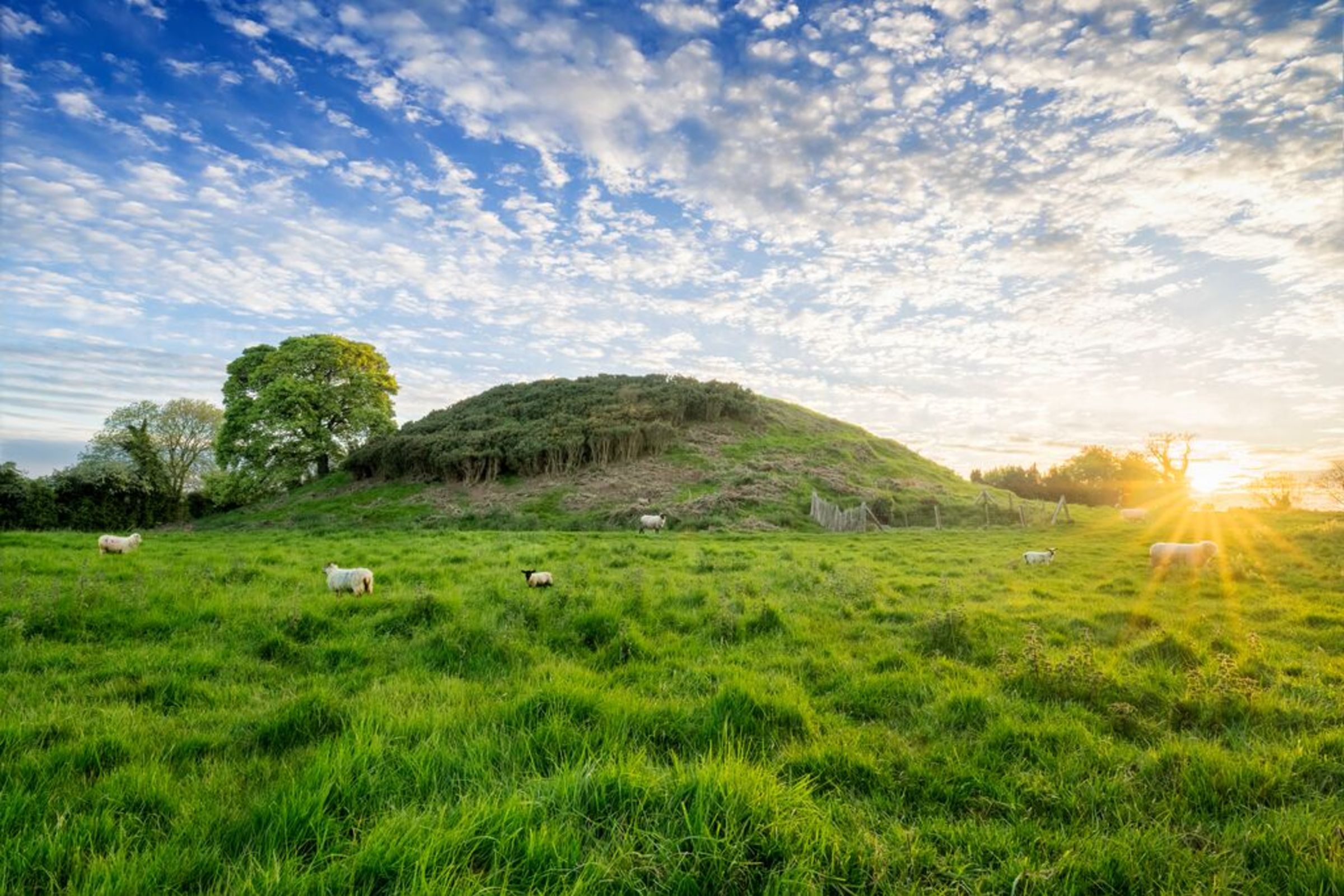
Spring Renewal
As spring arrives, the valley comes alive with fresh green growth. Lambs appear in the fields around the monuments, continuing a pastoral tradition that has shaped this landscape for thousands of years.
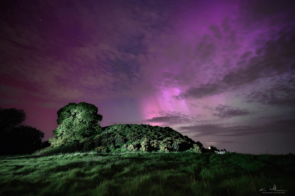
Long Summer Days
In summer, the sun doesn't set until after ten o'clock. The long evenings cast dramatic shadows across the monuments, and the sky fills with rich colours that the Neolithic builders would have known well.
Autumn Gold
Autumn brings golden hues to the surrounding woodlands, and the harvest fields take on warm amber tones. The River Boyne runs high with rain, its waters reflecting the changing colours of the season.
The Bend of the Boyne
The River Boyne curves in a great arc through this landscape, creating a natural amphitheatre of fertile land. This "bend" gives the area its Irish name—Brú na Bóinne, which can be translated as "palace of the Boyne" or "mansion of the Boyne."
For the Neolithic communities who built Dowth and its neighbouring monuments, the river was a highway, a source of food, and perhaps a sacred boundary between the world of the living and the realm of the dead.
Today, the Boyne continues to shape the character of this landscape. Its gentle meanders create ever-changing reflections of sky and monument, connecting us to the same waters that flowed here five thousand years ago.
A Sense of Scale
Standing on the mound at Dowth, you can see across the entire Brú na Bóinne complex. To the west, the great mound of Newgrange dominates the skyline. To the northwest, Knowth rises with its satellite tombs clustered around it.
The three great mounds are visible to each other across the valley—a deliberate arrangement that speaks to the sophisticated planning of their builders. They form a triangle of sacred space, with smaller monuments filling the landscape between them.
The scale of construction is remarkable. It has been estimated that building Newgrange alone would have required the labour of hundreds of people over many years. Dowth and Knowth represent similar investments of time, resources, and coordinated effort—achievements that rival any of the ancient world.
Location
Dowth in the Boyne Valley
Interactive Map Coming Soon
Dowth is located in the Brú na Bóinne UNESCO World Heritage Site, County Meath, Ireland.
53.7008°N, 6.4494°W
View on OpenStreetMapMap integration placeholder. See component comments for implementation notes.
The landscape around Dowth is protected as part of the UNESCO World Heritage Site. Please respect all heritage guidelines when visiting. Read our visitor information →